
Santa Clarita Neighbor Block Search
A block lookup works best when each source has a separate role. City GIS maps adjoining land. Assessor detail omits owner and mailing data. Deeds identify recorded parties, permits show project participants, and community or historical sources offer limited leads.
| Source | What It Shows About a Block | Access |
|---|---|---|
| Santa Clarita City GIS | Adjacent polygons, site, parcel, district facts | Free map; no owner or resident names |
| Los Angeles County Assessor Portal | Parcel detail, AIN, legal description, assessment | Free address/AIN; no owner or mailing display |
| RR/CC recorded-deed index | Deed parties chained by year and name | Appointment viewing; no address search |
| Santa Clarita permit portal | Projects, applications, inspections, participants | Anonymous web, account or counter |
| Los Angeles County voter file | Address-level registration for a permitted purpose | Paid/contract; no street browse; protected suppressed |
| HOA GIS layer | Association boundary and name | Free map; no membership or contact roster |
| Historical reverse or phone directory | Dated subscriber or occupant lead | SCVHistory or library; incomplete |
This keeps a parcel from becoming a claim about a person. A site address locates land; a tax or owner mailing address points to notice delivery. Neither proves occupancy. Applicants, deed parties, voters, subscribers, and HOA contacts answer different questions.
Note: A Santa Clarita block list is a research worksheet of parcels and sources, not a personal roster of everyone nearby.
Map Santa Clarita Neighbors Parcel by Parcel
The official Santa Clarita Mapping Your City viewer starts a parcel lookup. Search by address, APN or AIN, tract number, or intersection. Address mode uses ST_NUM, ST_NAME, FULL_STNAM, BLDG_ADRES, and STNUM_UNIT. Address and APN searches are non-exact with up to six results; intersections offer up to ten suggestions and six results.
- Search the address first. If it fails, try AIN or APN, tract number, or the nearest intersection.
- Turn on Parcel Outlines at about 1:12,000, then Parcel Number at about 1:1,800.
- Click the target and adjoining polygons, or use Select. One-mile layers are not a configured neighbor boundary.
- Read the pop-up and Attribute Table for AIN, site address, ZIP, jurisdiction, tract, lot, legal description, and districts.
- Measure distance or area, then record each AIN before moving to assessor, permits, or deeds.
It can show site, ZIP, jurisdiction, tract and lot, districts, annexation date, zoning, year built, sheriff zone, acreage, legal description, prior parcel number, and council district. Owners and mailing fields are absent; no city radius or buffer is configured. For an unincorporated fringe, the GIS-NET public map offers Identify, Query, and BUFFER, but it is not the city viewer. For a named street, use the Santa Clarita street directory workflow.
- AIN or APN
- The identifier tying map, assessor, and land records to one parcel.
- Situs address
- The address locating land, which may differ from a tax-mailing address.
- Adjacent parcel
- A nearby mapped polygon, not proof of a household.
Santa Clarita Neighbor City Lines
Santa Clarita incorporated in 1987, but it did not become a separate records county. Deeds, assessment, courts, voter administration, and vital records still route mainly through Los Angeles County or California agencies. City Hall handles municipal documents, permits, planning, code activity, and services. Nearby homes can therefore use different systems.
Search names can cross the municipal line. Canyon Country, Newhall, Saugus, and Valencia remain useful index and mailing terms, while “Santa Clarita” can mean the city or wider valley and postal label. GIS jurisdiction and annexation date identify the government layer, not the occupant.
For a public local contact layer, the Santa Clarita Neighborhood Services page points toward city resources rather than a name list.
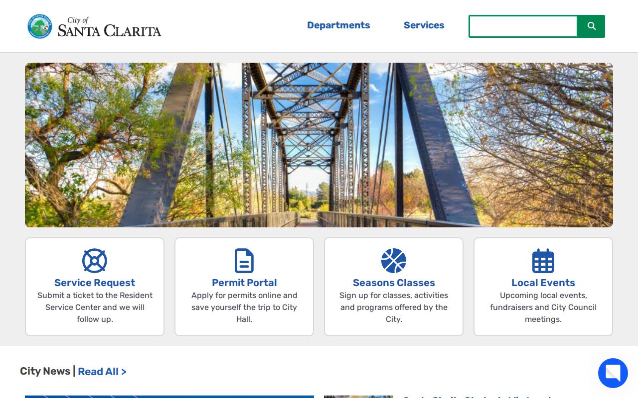
The image shows a city contact layer for civic pathways around a block, not a resident directory.
Santa Clarita Parcel Facts for Neighbor Research
The Los Angeles County Assessor Portal is free and starts with land, not people. Search by address, ten-digit AIN, or assessment legal description. Results show AIN, address, and legal description. The public site has no owner-name search and omits owner and mailing identity.
The portal offers two search tabs: Search by AIN or Address and Search by Assessment Legal Description. Each uses one required text field, and an exact address or ten-digit AIN works best. The Search control runs the query; broad queries may cap at 501 results, and no export was observed.
Parcel detail can include site and ZIP, use type, units, built year, lot and building area, zoning, acreage, tax-rate area, values, exemptions, legal description, and old AIN. These fields confirm a map selection but do not prove occupancy.
Note: Keep separate worksheet columns for site address, mailing address, AIN, legal description, jurisdiction, and any later deed evidence.
Santa Clarita Neighbor Permit Research
The City Permit Center and its Accela eService portal add project context. It offers property information, building application search and inspection scheduling, license search and renewal, and environmental-services search. Anonymous viewing is limited; registration unlocks all services. Controls include record or application number, street number and name, parcel number, and date range.
The Santa Clarita Permit Center page gives counter information.
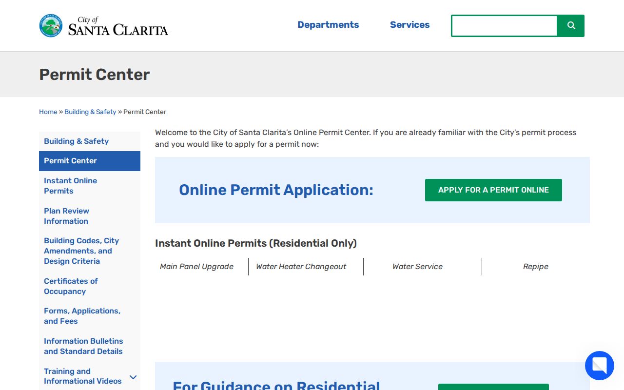
Permit results may show record number, type, status, project address, dates, description, inspections, and applicant or contractor contacts. These are project participants, not residents. Private complainant data may be redacted.
For counter help, the Permit Center is in City Hall, Suite 140. Published hours are Monday through Thursday, 7:30 a.m. to 5:00 p.m., and Friday, 8:00 a.m. to 5:00 p.m. Building and Safety is (661) 255-4935, Planning is (661) 255-4330, Engineering Services is (661) 286-4060, and Environmental Services is (661) 286-4098. Ask for an address-keyed status or final notice.
For city records beyond Accela, search the Laserfiche repository, then use the City Clerk CPRA channel for an existing log, file, or correspondence. Name a date range, department, project or address, and format; no purpose explanation is required, the City need not create a new list, and exemptions may require redaction.
Deed Trails Behind Santa Clarita Neighbors
For recorded owner history, use the Los Angeles County Registrar-Recorder/County Clerk, or RR/CC. Its grantor/grantee index is organized by party name and recording year, not street address or APN. At Norwalk, free viewing is by appointment: 1851 to 1957 on the lower level, and 1958 to present on the second floor. Appointments can be set about two weeks ahead.
Use the RR/CC real-estate records channel. Call (800) 201-8999 for help, using property recording option 2 or recorded records option 3. The index cannot search by telephone. A mail request names the document, parties, and years; send it to RR/CC Real Estate Records, PO Box 1130, Norwalk, CA 90651-1130, with check or money order. Turnaround is 20 working days; telephone requests are not accepted.
Start with an AIN or legal description from GIS and a known deed party. Note grantor, grantee, instrument or book-page reference, and legal description, then search that grantor as an earlier grantee. This creates a chain of title, a linked transfer history. A deed party is not automatically a current occupant or a complete list of nearby people.
Note: County deed records are public through the custodian's viewing and request channels, but public does not mean a complete remote address directory.
Voter Limits for Santa Clarita Neighbors
California voter information is not an open block browse. The Los Angeles County My Voter Status tool requires last name, birthdate, house number, and ZIP Code. It validates the requester's registration, not a street or nearby voters.
Other access is controlled. The Norwalk Election Information Section accepts mail requests with requester name, address, birthdate, signature, phone, and a self-addressed stamped envelope. An appointment may take up to eight weeks. A search file costs $5 per name and year, voter history $6.75 per name, own certified registration $1.50, and another authorized or public copy $6.75. A countywide file is $146; a precinct, district, or city file is $54, with a $39 additional copy and contract required.
The voter data file route requires an election, government, scholarly, journalistic, or political purpose under Elections Code section 2194 and related rules. Commercial use is prohibited. Participation shows polls, mail, or no vote, never a ballot choice. Safe at Home and other confidential voters have residence and contact data suppressed.
Santa Clarita HOA Boundaries and Contacts
The GIS HOA layer identifies an association boundary. It exposes only Name, ID, Perimeter, and Acres, not a member or household roster. Named map examples include:
| Mapped association names | Public contact or inventory | Useful interpretation |
|---|---|---|
| Valencia Hills; Oaks at Newhall; Sienna Villas; Santa Fe; Rainbow Glen Estates | Boundary name and map geometry | Use the polygon to identify a community area, not its households |
| Canyon Country Racquet Club; Peachland Condo; Fairways East; Crown Villas South; Apple Park | Name, ID, perimeter, acres | Association labels can guide a lawful contact search |
| Arroyo West; Arbor Park; Alta Vista Village; Galleria at Alta Vista; Montevista | Mapped boundary only | No public member or resident roll |
| Copper Hill Master; Creekside; Bridgeport associations; Sand Canyon; Friendly Valley; Valencia Summit | Mapped boundary only | Check the association's own contact path for meetings or notices |
The Sand Canyon Community Association describes roughly 1,000 homes between the Santa Clara River, Placerita Canyon Road, and the Angeles National Forest. Its contacts and minutes are organizational resources, not a household directory.
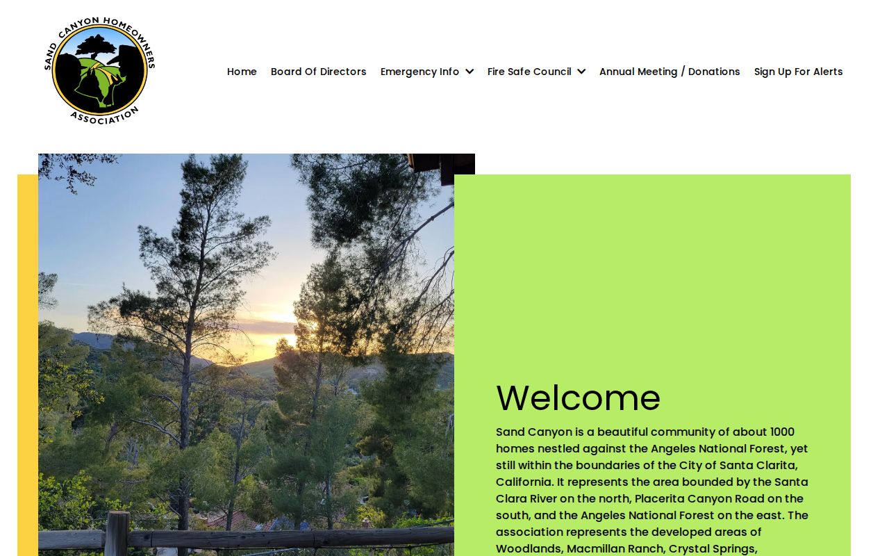
The association image reinforces the right use of an HOA source: learn its territory and contact method, then respect any member-access boundary.
Community Contacts Beyond Santa Clarita HOA Rolls
Some neighbor questions concern history, clubs, or consent-based reconnection. The City's Community Links directory lists the SCV Historical Society, Friends of Mentryville, Elks Lodge 2379, Kiwanis, Newhall Optimist, Jaycees, Zonta, and arts, music, and radio clubs. These are contacts, not member rolls.
The Santa Clarita Community Links channel shows why civic resources need a different reading than parcel data.
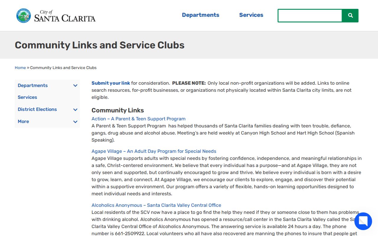
Use a group's published contact route for public meetings, historical material, or a consent-based introduction. Do not infer membership from an address or a group's presence in a neighborhood.
The SCV Chamber directory offers Quick Search, All, People, and Company filters, A-Z and Recent views, plus advanced Looking For, Keyword, and Business Category fields. It began in 1923 and publishes an Annual Business Directory. Its “People” entries are chamber contacts, not residents.
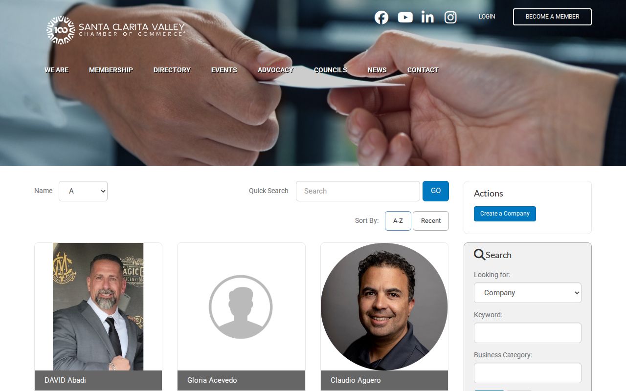
That distinction makes the Chamber useful for finding a public organizational contact while keeping a neighbor lookup tied to consent and context.
For older clues, ask a local library reference desk to search local-history and vertical files, and check a local history archive. Reverse and phone directories are incomplete, so a dated subscriber entry is only a lead.
Privacy Limits on Santa Clarita Neighbor Lookup
GIS and assessor detail omit owner identity and mailing address. The voter channel is not an open block directory. Utility, customer, DMV, and delivery records are not ordinary public sources. Household members, protected voters, and people using a substitute address may remain outside the trail. Safe at Home can provide an approved substitute address. Broker deletion removes a profile from that broker, not a deed or court file.
Official sources and commercial neighbor categories differ in purpose and reliability:
| Source type | What it may provide | Why it is not a block roster |
|---|---|---|
| Official GIS and assessor records | Parcel geometry, AIN, site facts, legal description, assessment | Owner and occupant identity are absent online |
| RR/CC deed index | Recorded parties, document references, year, legal-description trail | Name and year search, not address; a party may not live there |
| Permit and civic sources | Project participants, organizational contacts, meetings, historical leads | An applicant, member, or contact is not proven to live nearby |
| Voter file | Restricted address-level registration for a permitted purpose | Paid contract, no street browse, protected voters suppressed |
| Commercial neighbor tools | Compiled leads from mixed public and private data | May be stale or mismatched, not an authoritative roll |
Lawful use. Use Santa Clarita neighbor research for lawful personal purposes such as understanding a block, reconnecting through an appropriate public organization, or improving safety awareness. Do not use parcel, deed, voter, civic, or directory information to stalk, harass, intimidate, impersonate, or harm anyone. Stop when a source marks information confidential or access-limited.
Verify important records with the custodian. A map supports a parcel question, a deed a transfer question, and an association a contact question. None alone proves who lives next door.